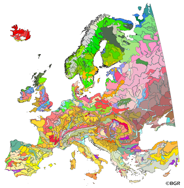
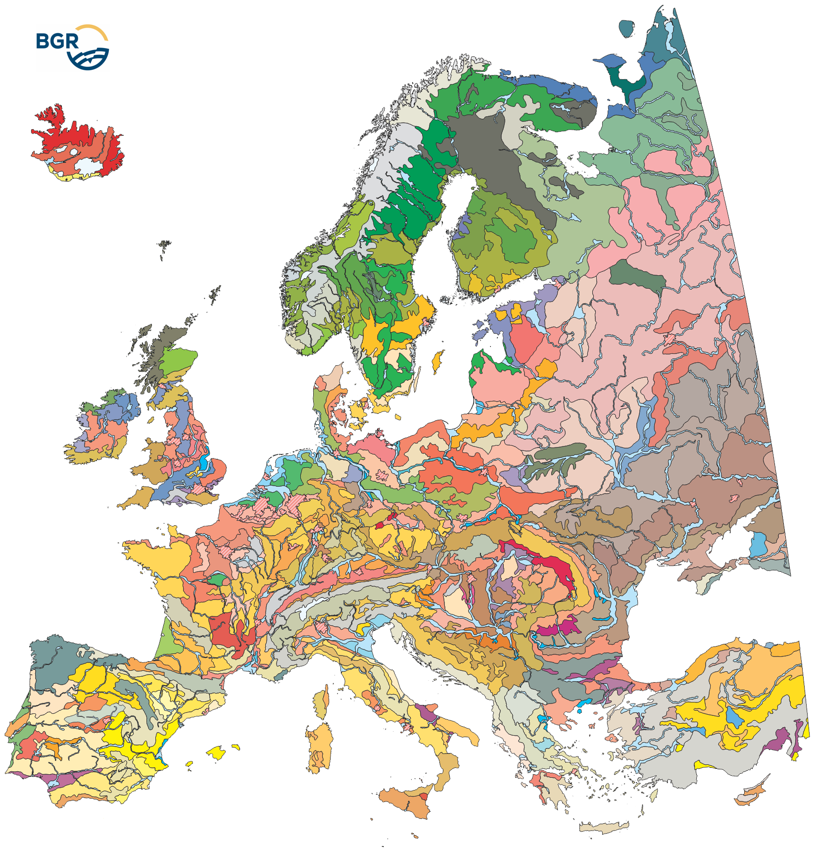
The map of the "Soil Regions of the European Union and Adjacent Countries 1:5,000,000 (Version 2.0)" is published by the Federal Institute of Geosciences and Natural Resources (BGR), in partnership with the Joint Research Center (JRC, Ispra). The soil regions map is intended to support the current national mapping activities towards a European 1:250,000 datbase by stratifying similar regional soil associations into a hierarchical concept. Only by stratification, the complexity of soils can be systematically structured so that the complex 1:250,000 legend can be handled in cross-national and contintental-level applications. Soil regions are natural, cross-regional soil geographical units which perform the highest spatial and content-based aggregation of European soils. They represent the frame conditions for soil development at the landscape level. The soil regions are presented at scale 1:5,000,000. Thus, its borders are highly generalized. Because of its low resolution, the map units absorb atypical soils and associations of soils, which are only described in higher resolution soil maps. The delineation of the soil regions is expected to be refined (and probably improved by its content) during the actual 1:250,000 mapping process. Thus, updating can be expected in the future. Currently, the soil regions map is the only graphical soil representation in Europe which has been developed using fully comparable and harmonized basic data at the continental level (climate, hydrography, relief, geology, vegetation): the interpretation of this input data, and the utilization of expert knowledge (including the interpretation of regional soil maps) has been done using one common methodology, developed and applied consistently throughout the whole mapping area by an experienced international soil mapper (Dr. Reinhard Hartwich, former member of BGR, and co-author of the 1998 Manual of Procedures). The methodology is extensively described in the Explanatory Notes (German), and in the revised Manual of Procedures which is expected to be completed soon. It is highly recommended to apply and interpret the map using the map comments and descriptions as provided in the explanatory notes (German: Hartwich et al. 2005; English: revision of the Manual of Procedures, initial version: Finke et al. 2001). Die Karte der "Bodenregionen der Europäischen Union und ihrer Nachbarstaaten im Maßstab 1:5.000.000 (Version 2.0.)" wird von der Bundesanstalt für Geowissenschaften und Rohstoffe (BGR) in Kooperation mit dem Joint Research Center (JRC, Ispra) herausgegeben. Die Bodenregionenkarte ist eine erste Informationsquelle für die Bewertung und Gliederung der Böden Europas. Sie bietet allgemeine, aggregierte Informationen zu den Böden und dient allgemein dem Vergleich der Bodenbildungsbedingungen in verschiedenen Klimagebieten. Zentrales Ziel ist allerdings die Unterstützung und Gliederung der Böden des in Entwicklung befindlichen europäischen Kartenwerks 1:250.000. Da es sich um eine Gliederungskarte handelt, sind die Grenzen der Kartiereinheiten stark generalisiert und für grobe, überregionale Landschaftsmaßstäbe gedacht. Die Bodenregionenkarte ist derzeit die einzige graphische Darstellung der Böden Europas, bei der alle Grunddaten (Geologie, Klima, Vegegation, Relief, Hydrographie) aus dem selben Blickwinkel bewertet und die Bodeneinheiten nach einheitlichen Kriterien abgegrenzt wurden. Darüber hinaus bildet sie eine Arbeitsgrundlage, die voll in bestehende GIS-Datenbanken integriert werden kann. Es ist ausdrücklich vorgesehen, und zu erwarten, dass die Linienführung im Zuge der Anwendungen im Maßstab 1:250.000 verfeinert wird, und Anpassungen erfolgen, die eine Fortschreibung dieser Datenbasis erfordern. Karte und Datenbank englisch, Bericht deutsch mit englischen Abbildungen. Für die Anwendung und Interpretation des Kartenmaterials sollten dringend die Anmerkungen und Beschreibungen des Erläuterungsbandes Verwendung finden.


